
6 Ways Project Managers Use Visual Documentation to Track Construction Site Progress
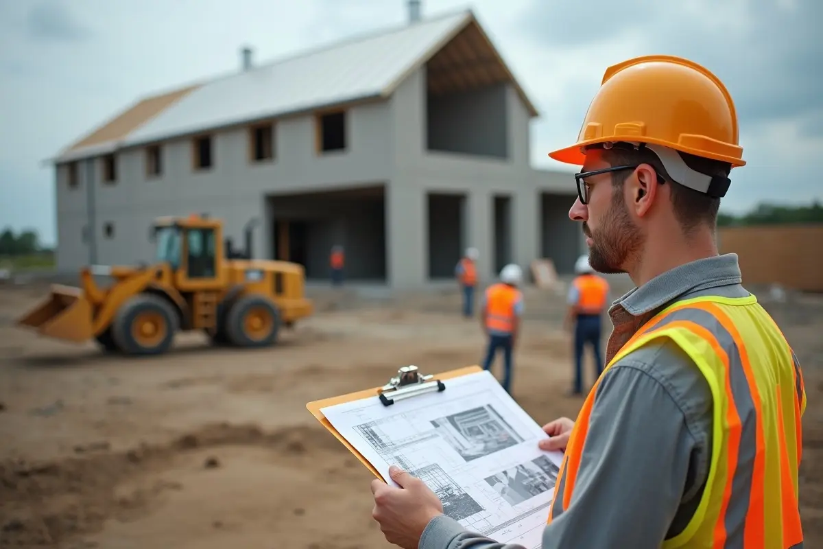
The majority of project managers are overwhelmed with the amount of data they have. Whether it’s schedules, submittals, RFIs, or punch lists, data is constantly being generated. The issue isn’t the amount of data though. It’s that most of it doesn’t provide real-time insights into what’s currently unfolding on the construction site in a digestible format.
Virtual Site Walks Cut Oversight Time Without Cutting Oversight
One of the more practical shifts in how PMs manage active sites is the move toward regular “virtual site walks” using high-resolution imagery. Instead of driving two hours to check on a pour or confirm a subcontractor hit a milestone, a manager can review a set of timestamped photos or drone footage from their desk.
This doesn’t replace physical site inspections. It changes their purpose. When you do show up, you’re there for decisions and quality checks – not just to confirm that work happened.
Sequential imaging is key here. Capturing the same angles at regular intervals builds a visual timeline that’s searchable, shareable, and a lot harder to dispute than anyone’s written account.
A Visual Record Is Your Dispute Resolution Backup
Disagreements among subcontractors regarding milestone completion happen more frequently than project owners would like to believe. For example, if concrete pour or application of waterproofing is questioned, the dispute often boils down to “your word against my word,” – or more accurately, your written logs versus my written logs.
A photographic or video record can resolve such disputes more quickly and with less damage to intercompany relationships. High-resolution imagery becomes the single source of truth – not because someone planned to have a dispute, but because they documented with discipline.
In particular, however, the photo is important to record items of work that will get covered up. Structural connections, waterproofing membranes, underslab utilities, etc., are all hidden from view once the drywall is installed or the concrete is poured. A photograph made before subsequent work covers an item is the only way to prove compliance or quality without demolition.
Drone Data And BIM Are More Useful Together Than Separately
BIM models are created based on certain conditions. The design illustrates how the construction is supposed to appear. Aerial photogrammetry obtained through drones illustrates how the construction actually appears during any phase of the build.
By comparing these two aspects, such as live drone data with the BIM model, a project manager looking at a construction site time lapse can identify deviations in the actual scenario which can be rectified in time at a lower cost. For instance, a column shifted by six inches, a wall line is not as per drawing, incorrect grade, etc. are the kind of issues that lead to expensive rework if found in later stages of construction.
Inaccurate data and ineffective site communication lead to approximately $31.3 billion in rework globally each year (FMI Corp). Most part of this rework is avoidable. The issue is not a lack of technology but the consistent application of this technology to compare the plan with the current scenario.
Long-Term Progress Monitoring Gives Stakeholders Something They Can Actually Read
Gantt charts and earned value reports may work well internally. However, for most investors and clients, they’re not easy to digest in a pinch. What they can grasp immediately is the transformation from a cleared site to a structural frame to a weather-tight facade.
A professional construction site time lapse compresses months of work into minutes, giving your off-site stakeholders a full understanding of the project’s health without needing to interpret a schedule. For milestone reporting, investor updates, or even executive-level reviews, a visual summary like this can deliver the information faster than a status report.
It also becomes a permanent record of the project lifecycle, an invaluable resource for as-built documentation, future work, and post-project analysis.
Cloud Collaboration Closes The Gap Between Field And Office
The connection between the crews in the field and the office staff is usually responsible for delays and misunderstandings in scheduling. Any visual data is only beneficial if it is available to the right person at the right time.
With cloud-based platforms, photos, drone videos, and images with marks and notes are updated in real-time and you can be sure that a project manager on a different site or in a different city can see what a foreman is looking at in a few minutes. Decisions are made faster. No problems remain unattended in wait for their entry into the email queue.
Making Visual Documentation A System, Not An Afterthought
The six methods discussed here are effective because they are ongoing, not because they are occasional. For example, a site photo taken once a month will not provide you with the consecutive images necessary to detect a framing discrepancy. Drone data collected at important intervals, but not throughout, will not be able to contribute to a BIM comparison when you need it most.
Visual documentation proves to be a valuable project management solution when you approach it in the same way you do with scheduling or budgeting – as a process that occurs consistently, and not as a one-time activity that occurs when someone decides to take a photo.